På lager
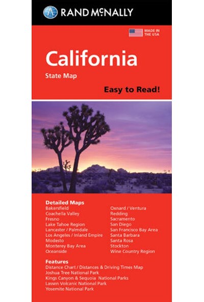
California, Rand McNally Easy to Read State Map
DKK
129.00
inkl. moms
DKK
103.20
ekskl. moms
ISBN:
9780528027314
Sprog:
Engelsk
Indbinding:
Hæftet
Målestok:
1:780.000
Forlag:
Rand McNally
Udgivelsesdato:
07-04-2017
Udgivelsesår:
2017
Udgivelsesland:
USA
BESKRIVELSE:
Rand McNally's Easy To Read State Folded Map is a must-have for anyone traveling in and around California, offering unbeatable accuracy and reliability at a great price. Our trusted cartography shows all Interstate, U.S., state, and county highways, along with clearly indicated parks, points of interest, airports, county boundaries, and streets. The easy-to-use legend and detailed index make for quick and easy location of destinations. You'll see why Rand McNally folded maps have been the trusted standard for years. - Regularly updated, full-color maps. - 40% larger map with a bigger type size than the Rand McNally Folded Map. - Clearly labeled Interstate, U.S., state, and county highways. - Indications of parks, points of interest, airports, county boundaries, and more. - Mileage and driving times map. - Detailed index. - Convenient folded size. Coverage Area Detailed maps of: Bakersfield, Fresno, Joshua Tree National Park, Kings Canyon Natl Park & Sequoia Natl Park, Lake Tahoe Region, Lancaster/Palmdale, Los Angeles, Modesto, Monterey/Salinas, Oceanside, Oxnard/Ventura, Palm Springs, Sacramento, San Diego.

