På lager
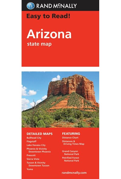
Arizona State Map, Rand McNally Easy to Read
DKK
112.00
inkl. moms
DKK
89.60
ekskl. moms
ISBN:
9780528024436
Sprog:
Engelsk
Indbinding:
Kort falset papir
Forlag:
Rand McNally
Udgivelsesdato:
06-08-2021
Udgivelsesår:
2021
Udgivelsesland:
USA
BESKRIVELSE:
Rand McNally's Easy To Read State Folded Map is a must-have for anyone traveling in and around Arizona, offering unbeatable accuracy and reliability at a great price. Our trusted cartography shows all Interstate, U.S., state, and county highways, along with clearly indicated parks, points of interest, airports, county boundaries, and streets. The easy-to-use legend and detailed index make for quick and easy location of destinations. You'll see why Rand McNally folded maps have been the trusted standard for years. -Regularly updated, full-color maps. -Larger map with a bigger type size than the Rand McNally Folded Map. - Clearly labeled Interstate, U.S., state, and county highways. -Indications of parks, points of interest, airports, county boundaries, and more. -Mileage and driving times map. Coverage Area: Detailed maps of: Flagstaff, Grand Canyon National Park, Lake Havasu City, Petrified Forest National Park, Phoenix & Vicinity, Phoenix, Downtown Prescott, Tucson & Vicinity, Tucson Downtown, Yuma. Scale 1:722,300.

