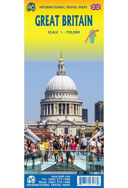
Great Britain, International Travel Maps
DKK
119.00
inkl. moms
DKK
95.20
ekskl. moms
ISBN:
9781771293273
Sprog:
Engelsk
Indbinding:
Kort falset papir
Sideantal:
1
Målestok:
1:720.000
Forlag:
ITMB publishing
Udgivelsesdato:
01-02-2025
Udgivelsesår:
2025
Udgivelsesland:
Canada
Serie:
International Travel Maps
BESKRIVELSE:
The islands off the coast of Europe have several names, depending upon what one is trying to designate. The British Isles includes all of Ireland, Great Britain only includes Ulster, or Northern Ireland, and United Kingdom refers to the political entity, excluding the Channel Islands and the Isle of Man, which are part of Great Britain, but not part of the United Kingdom. Most confusing. In any case, this is a thoroughly updated map of Great Britain, with Scotland and Northern Ireland on side 1, with most of Northern England, and inset maps of the Orkney Islands and the Shetland Islands. Side 2 concentrates on Wales and southern England, with part of the Republic of Ireland. It also includes the Isle of Man and an inset of the Channel Islands, as well as a tiny bit of France in order to show the ferry and undersea train connections joining Britain to the continent. The map is quite detailed and is designed for the visitor wishing to have the entire country on one sheet of paper. GB is a densely populated country with an extensive road and rail network and is loaded with castles, fortresses, cathedrals, historic sites, famous gardens, ferries to various countries, and national parks. There is an incredible amount of information on this map, including secondary and tertiary roads, hundreds of villages, and all rail lines with passenger service. Just to complicate matters, all the counties and named and their borders are shown. Britain is one of the most visited countries in the world and never ceases to amaze visitors with its wealth of fascinating heritage sites. This is an extremely comprehensive map of GB.


