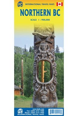
British Columbia Northern, International Travel Maps
DKK
114.00
inkl. moms
DKK
91.20
ekskl. moms
ISBN:
9781771294157
Sprog:
Engelsk
Indbinding:
Kort falset papir
Målestok:
1:900.000
Forlag:
ITMB publishing
Udgivelsesdato:
01-06-2023
Udgivelsesår:
2023
Udgivelsesland:
Canada
Serie:
International Travel Maps
BESKRIVELSE:
Side 1 is of the western portion, including the Alaskan Panhandle, with the route followed by cruise ships heading north and clearly delineates the border between Canada and the USA. It also shows the Stewart Highway heading north towards the Yukon, with its branch leading to Hyder, Alaska, the only place in the USA that uses Canadian money and does all its banking in Canada. The second side covers the eastern half of BC’s north, with the Alaska Highway starting in Dawson Creek and extending north to Fort Nelson before veering west into the eastern edge of the Rocky Mountains to the Yukon border.


