
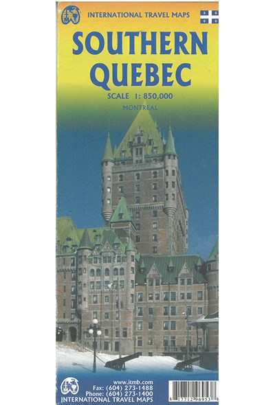
På lager
Southern Quebec, International Travel Maps
DKK
110.00
inkl. moms
DKK
88.00
ekskl. moms
ISBN:
9781771296953
Sprog:
Engelsk
Indbinding:
Kort falset papir
Målestok:
1:850.000
Forlag:
ITMB publishing
Udgivelsesdato:
20-02-2016
Udgivelsesår:
2016
Udgivelsesland:
Canada
Serie:
International Travel Maps
Serienr.:
0
BESKRIVELSE:
1st edition 2016. Scale 1:850.000.
Almost all the roads and settlements are in the southern half of the province,
so we expanded the scale of our artwork and created a map that will be of
greater practical use for visitors than one of the entire province. Even so, the
distances are formidable (say it in French; it sounds much more dramatic!) Side
one concentrates on the region north of Montreal, and includes the Canadian
Shield region of Abitibi. The second side follows the St. Lawrence River
eastward to Quebec City, where one can continue eastward on the north shore for
hundreds of kilometers or cross over an enormous bridge to the south shore and
do essentially the same; ending up in the picturesque Gaspe Peninsula! This is
an easy to use map, with good detail and a lot of information as to camping
sites, interesting points of view, access points from the USA, and roads leading
far into the interior. It also includes an excellent inset map of central
Montreal (1:12.500).