På vej til lager
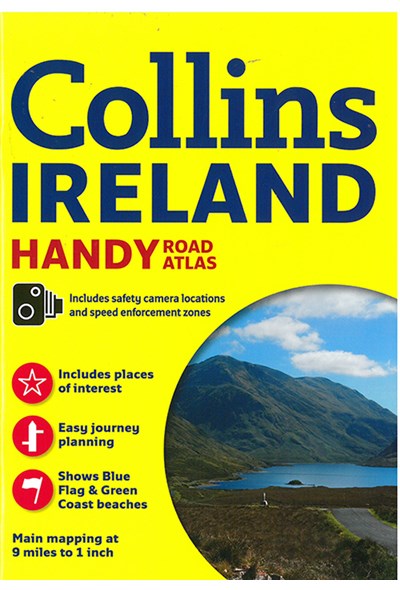
Ireland Handy Road Atlas
DKK
95.00
inkl. moms
DKK
76.00
ekskl. moms
ISBN:
9780008158644
Sprog:
Engelsk
Indbinding:
Hæftet
Sideantal:
64
Målestok:
1:570.240
Forlag:
Collins
Udgivelsesdato:
10-03-2016
Udgivelsesår:
2016
Udgivelsesland:
Storbritannien
BESKRIVELSE:
Explore Ireland with this handy format route-planning atlas in full colour, complete with information on places of tourist interest. There are also fully indexed town centre plans of Belfast, Cork, Dublin, Galway, Limerick and Londonderry. This atlas, at A5 size, contains mapping of the whole of Ireland at 1:570.240. The mapping is beautifully designed with colour classified roads and subtle layered height tinting. The atlas is ideal for residents, visitors and tourists alike. Key features of the atlas include: All Ireland route planning maps. Dublin, Belfast, Cork, Galway, Londonderry and Limerick town centre plans. Blue Flag and Green Coast beaches map. List of tourist information centres. Description of places of interest. Full index to place names and places of interest. Information on airports, ferries and radio stations. Mileage chart.

