På lager
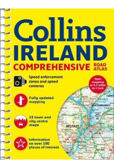
Ireland Comprehensive Road Atlas
DKK
159.00
inkl. moms
DKK
127.20
ekskl. moms
ISBN:
9780008270339
Sprog:
Engelsk
Indbinding:
Spiralryg
Sideantal:
160
Forlag:
Collins
Udgivelsesdato:
08-02-2018
Udgivelsesår:
2018
Udgivelsesland:
Storbritannien
BESKRIVELSE:
Clear, detailed road atlas of Ireland in a handy A4 spiral-bound format. This comprehensive, general purpose road atlas of the whole of Ireland is ideal for both business and pleasure use. The atlas contains a range of mapping scales: 9 miles to 1 inch route planning map. Main maps at 3.2 miles to 1 inch, which are ideal for navigation. A wide selection of detailed town centre street plans. This 2018 edition boasts road mapping packed with detail - showing colour classified road network, toll roads, land heights, the location of safety cameras, Blue Flag and Green Coast beaches, tourist information centres and a wide range of tourist attractions. There is also comprehensive guide information for visitors to Belfast, Cork, Dublin and Limerick. The locations of Speed Enforcement Zones, which highlight roads that have a high risk of accidents as identified by the Garda and the National Roads Authority, are included. There is also a wide range of fully indexed town and city centre maps. These are:Bangor, Belfast, Cork, Drogheda, Dublin, Dun Laoghaire, Galway, Kilkenny, Killarney, Limerick, Lisburn, Londonderry (Derry), Newry, Newtownabbey and Waterford.

